Land Use
Satellite Imagery
The Department of Environment and Mineral Resources at the Greenland Institute of Natural Resources (GINR) collaborated on the satellite imagery drone research at USM by Dr. Firooza Pavri with a focus on agricultural development-based needs of local sheep farms in South Greenland. Face to face meetings at GINR were held in June while Dr. Pavri traveled to South Greenland to share her data.
Outcomes
Inuili’s farming school connected the climate change satellite research of Dr. Pavri of USM with their work in Greenland. Dr. Pavri traveled held a well-attended workshop for local sheep farmers to teach how to find different satellite data, interpret and use the data, and to gather information on the need for data and research for Sheep farmers.
The Satellite Project looks to assist sheep farmers adapt to a changing climate, which could affect their ability to make a living farming.
In addition, Dr. Pavri visited a farming school to co-create local interpretation and an education curriculum helpful in sharing this type of data to farm students.

Faculty and students visit Narsap Ilua cattle farm in Narsaq to learn of farm related issues.

At data sharing meeting, farmer from south Igaliku discusses climate trends impacting farm productivity
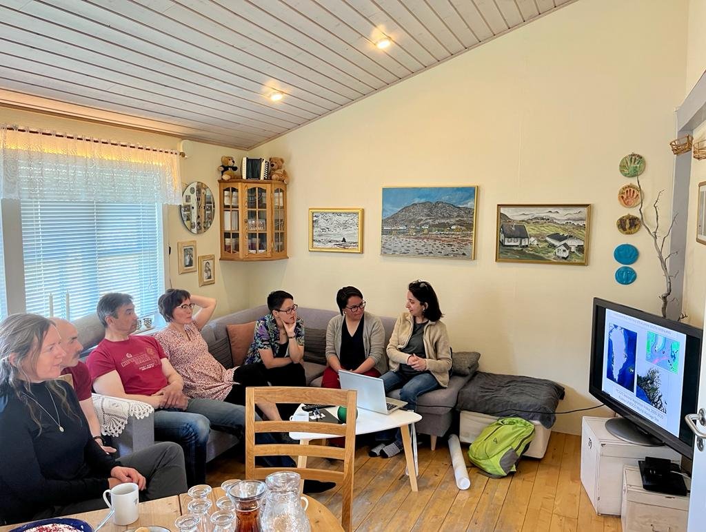
Satellite data shared with farmers in south Greenland.

A well-attended satellite data workshop in Qassiarsuk shared data and presented results from a vegetation analysis for the region. Farmers attending the workshop expressed interest in future data collaborations to help with farming decisions.
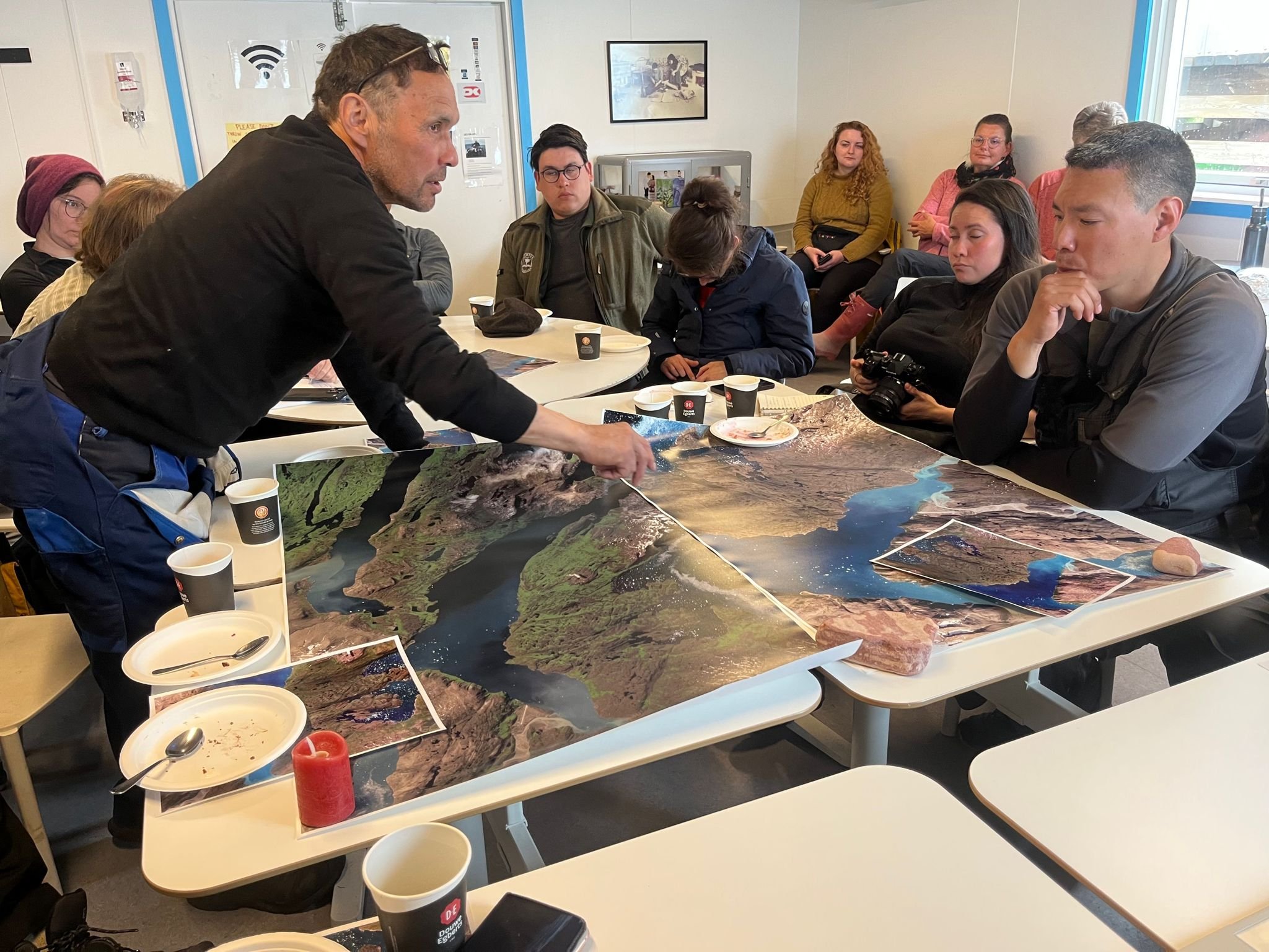
Farmers pour over satellite data and maps from their region showing vegetation trends. Farmers provided significant input and helped identify future possible collaborations using satellite data.
Tourism Site Assessments
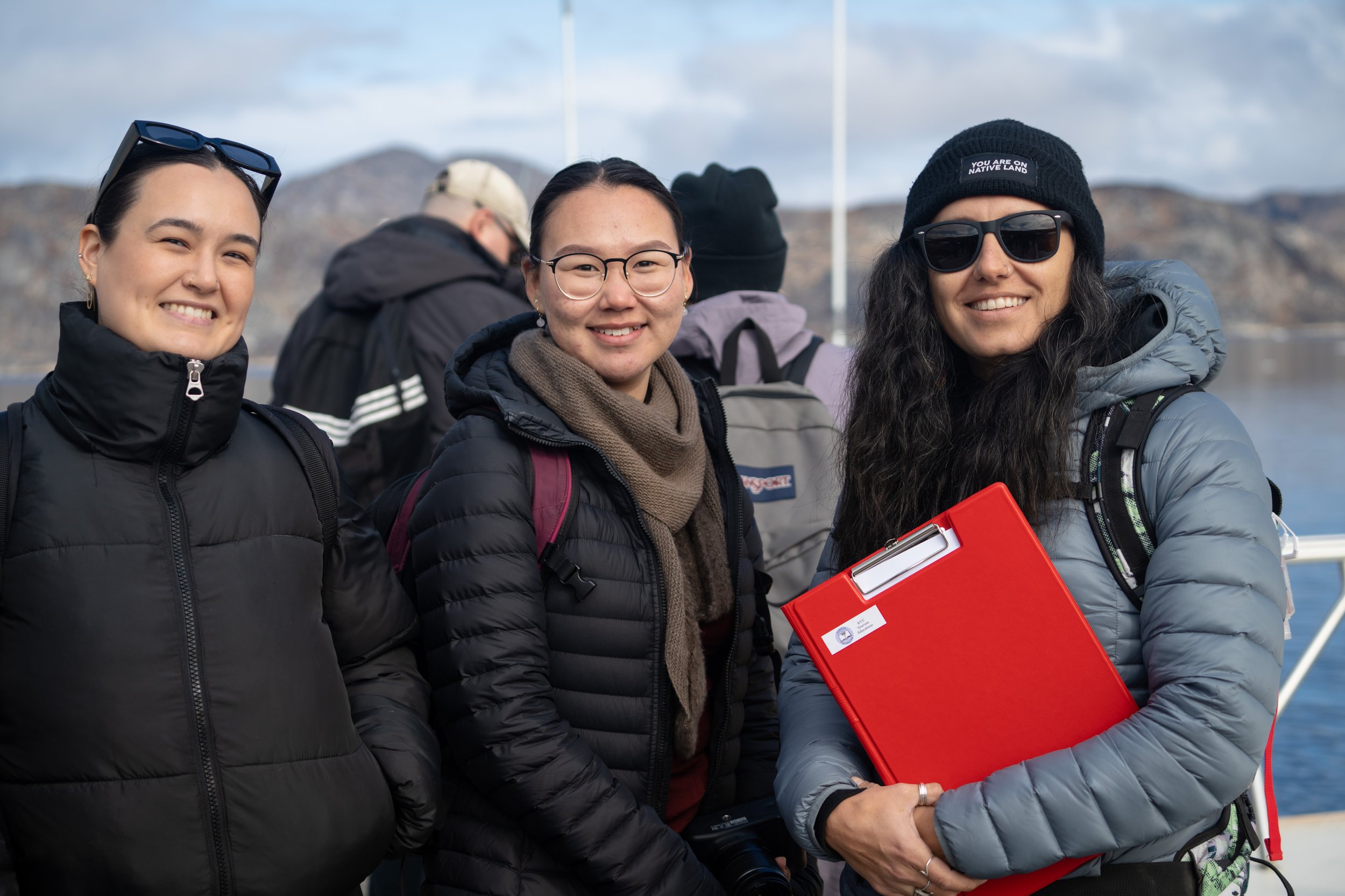
At the request of UNESCO staff, AEA delegates and Campus Kullajeq staff and students conducted tourism site assessments at Uunartoq hot springs and community stakeholder interviews in the nearby settlement of Alluitsup Paa to understand the tourism management needs and wants of local community members.
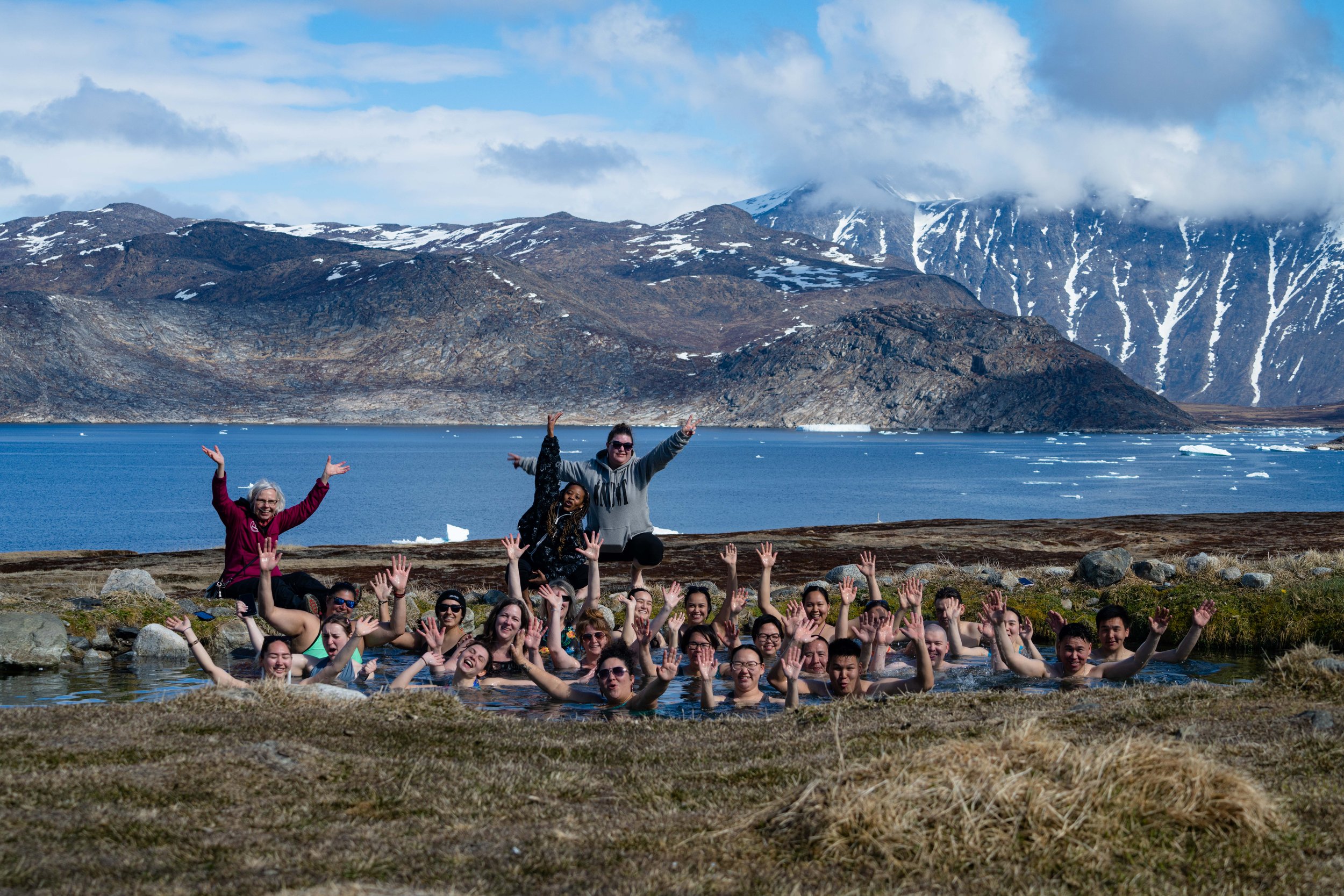
AEA delegates and Campus Kullajeq staff and students traveled by boat to the remote, uninhabited island of Uunartoq to experience the hot springs and learn about the surrounding Inuit ruins and local mythology associated with the site. It was an unforgettable experience in a beautiful place!